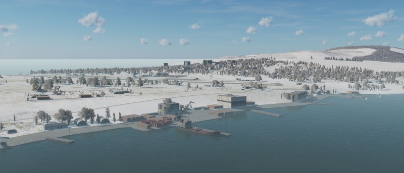
Caucasus
Caucasus is effectively the default region for DCS World since it comes free with the base client. It was also the region that the LOMAC world map was modelled from. The modelled part of the map covers the Russian Black Sea coast from the Crimean Peninsula down to Abkhazia, as well as the Abkhazian and South-Ossetian territories and all of the republic of Georgia. Inland, it covers the Russian Federation republics of Chechnya, Ingushetia, North Ossetia, Kabardino-Balkaria, Karachay-Cherkessia, and Adygea, and the southern parts of the Krasnodar krai. In all, the parts of the map that offer some kind of ground modelling (rather than just endless empty grass land) cover roughly 400×300 nautical miles.
In short, it covers the full conflict area of the 2008 Russo-Georgian war, and the surrounding areas from which operations were launched. Within this area, it offers a wide variety of terrains: high mountains, narrow passes, open seas and coastal areas, and long stretches of forests and plains. The two larger metropolitan areas are Krasnodar in the north-west and Tbilisi in the south-east.
Links and files
- Compact airfield information (see also kneeboard mods).
- 1985 High-res aeronautical map of the Caucasus region.
More information
- Caucasus on wikipedia.
- 2008 Russo-Georgian war] on wikipedia.
- Caucasus VFR map on Skyvector.
| DCS World | |
|---|---|
| Terrain modules |
Caucasus · The Channel · Mariana Islands · Nevada Test and Training Range (NTTR) · Normandy 1944 · Persian Gulf · Syria |


